Examples of our projects

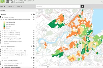
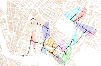
Map of the zones of influence of the structural district heating networks in the canton of Geneva Potential routing of a district heating network with building groups and connection points
GIS analysis and mapping · Feasibility studies

District heating at cantonal scale

620 → 1,150GWh/year district heating by 2030
36 → 150GWh/year district cooling by 2030
Nine-figureCHF investment
Client
Services Industriels de Genève (SIG)
Questions
  • Which urban areas should be included in the district heating Master Plan* of the canton of Geneva?
  • How can the cantonal Master Plan be translated into a feasibility study for SIG's engineering team?
What we did
  • Improved building and heating-system data; mapped heat density
  • Assessed the feasibility of alternative heating solutions by area and by building
  • Developed Master Plan maps for 2030, 2040 and 2050
  • Translated the Master Plan into a feasibility study, including a technical, economic and environmental assessment of multiple network design scenarios
  • Designed potential network routes and pipe sizes as geographic layers
Open data
The results of our work have been integrated into the following layers of the Geneva cantonal geoportal (SITG): OCEN_RTS_2030_2040_2050, OCEN_DISPONIBILITE_RTS

* Master Plan: the Canton of Geneva’s Plan directeur des énergies de réseau (PDER) and its deployment map of the réseaux thermiques structurants (RTS) for 2030, 2040 and 2050.
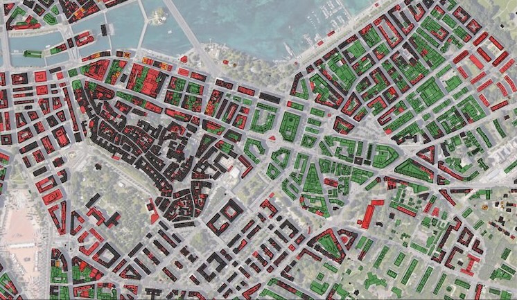
Aerial view of a historic town centre with buildings coloured by heritage constraint
GIS analysis and mapping

Heritage protection practices in energy policy and planning

Clients
Cantonal heritage office (OPS) and cantonal energy office (OCEN)
Questions
  • How can heritage protection rules be translated into GIS data at the level of individual buildings?
  • What are the quantitative effects of heritage protection rules on achieving energy policy targets?
What we did
  • Translated the legislative framework into a regulatory compliance flowchart
  • Converted scans of old urban planning maps into digital map layers
  • Performed geographic analyses, including 3D simulations, to evaluate the implications of heritage protection rules for individual buildings, roofs and roof segments
  • Quantified the potential impacts of heritage protection rules on solar energy development and building renovation potential, for policy-making and energy planning
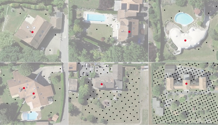
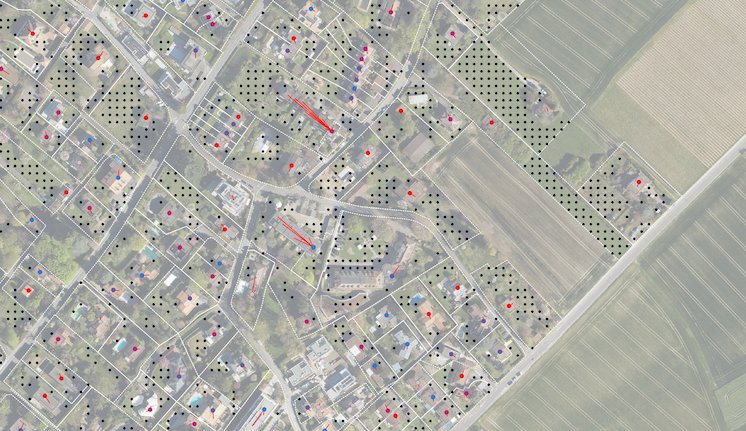
Aerial view of a municipality with building plots and point markers from the analysis Close-up aerial views of six properties with point markers from the analysis
GIS analysis and mapping · Web application development

Municipal planning

2,000buildings analysed
830heating systems
> 20 MWinstalled capacity
Clients
Municipalities, through a collaboration with an energy utility
Questions
  • What is the renewable energy potential of individual buildings within a municipality?
  • How can municipal planning facilitate the energy transition for building owners?
What we did
  • Improved building and heating-system data; mapped heat density
  • Evaluated the potential for district heating, ground-source heat pumps and solar panels, for individual buildings and groups of buildings
  • Built a web application with interactive maps to facilitate energy planning and collaboration between the municipalities and the utility